
NRMC Divisions
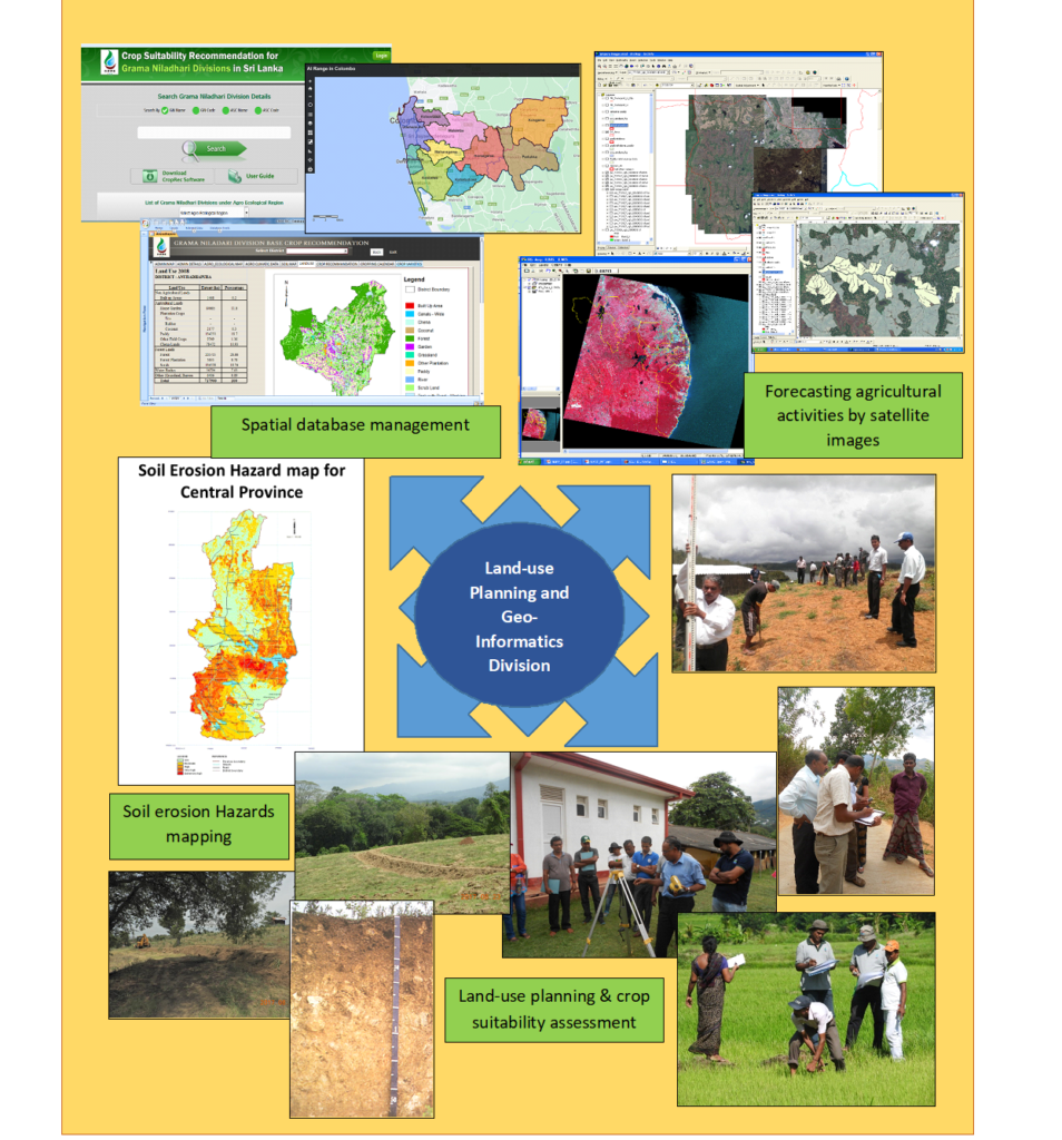
Land use Planning and Geo Informatics
Ensure efficient and systematic utilization of land and water resources for agriculture development through the application of information technology, geo-information and remote sensing technology.
Development and maintenance of national and local spatial data on land and water resources
Development of planning tools and aids for resources management at the national and local levels.
Investigate possibilities of forecasting agricultural activities by satellite images
Land-use planning & crop suitability assessment
Awareness creation among agricultural planners, managers and other officers on the application of geo-information and remote sensing for land and water resource management
Coordination and mapping of crop diversification potentials

Research and Publications
Research and Publications of the Land use planning and Geo Informatics Division
Use of Smartphones for Rapid Location Tracking in Mega Scale Soil Sampling
Harsha K.Kadupitiya,Ranga N.D.Madushan,Upul K.Rathnayake,Rohana Thilakasiri,Samantha B.Dissanayaka,MojithAriyaratne,Buddhi Marambe,Mohomad S. Nijamudeen,Dinaratne Sirisena,Lalith Suriyagoda
Open Journal of Applied Sciences (2021),10.4236/ojapps.2021.113017
Services
Crop Suitability Database
- Provision of land suitability based crop recommendations for clients on-demand basis
- Carrying out local level soil surveys
- Evaluation of land suitability for agricultural activities
- Characterization and mapping of soil resources for efficient land utilization
- Preparation of land suitability plans and maps
- Technical assistance for land use planning and land development.
- Training programs on land use evaluation and land use planning
Dr. S.S Senanayake
Assistant Director(Research)
- +94773587470
- sumudusenanayake@yahoo.com
- +94 812 388355
- +94 812 388920